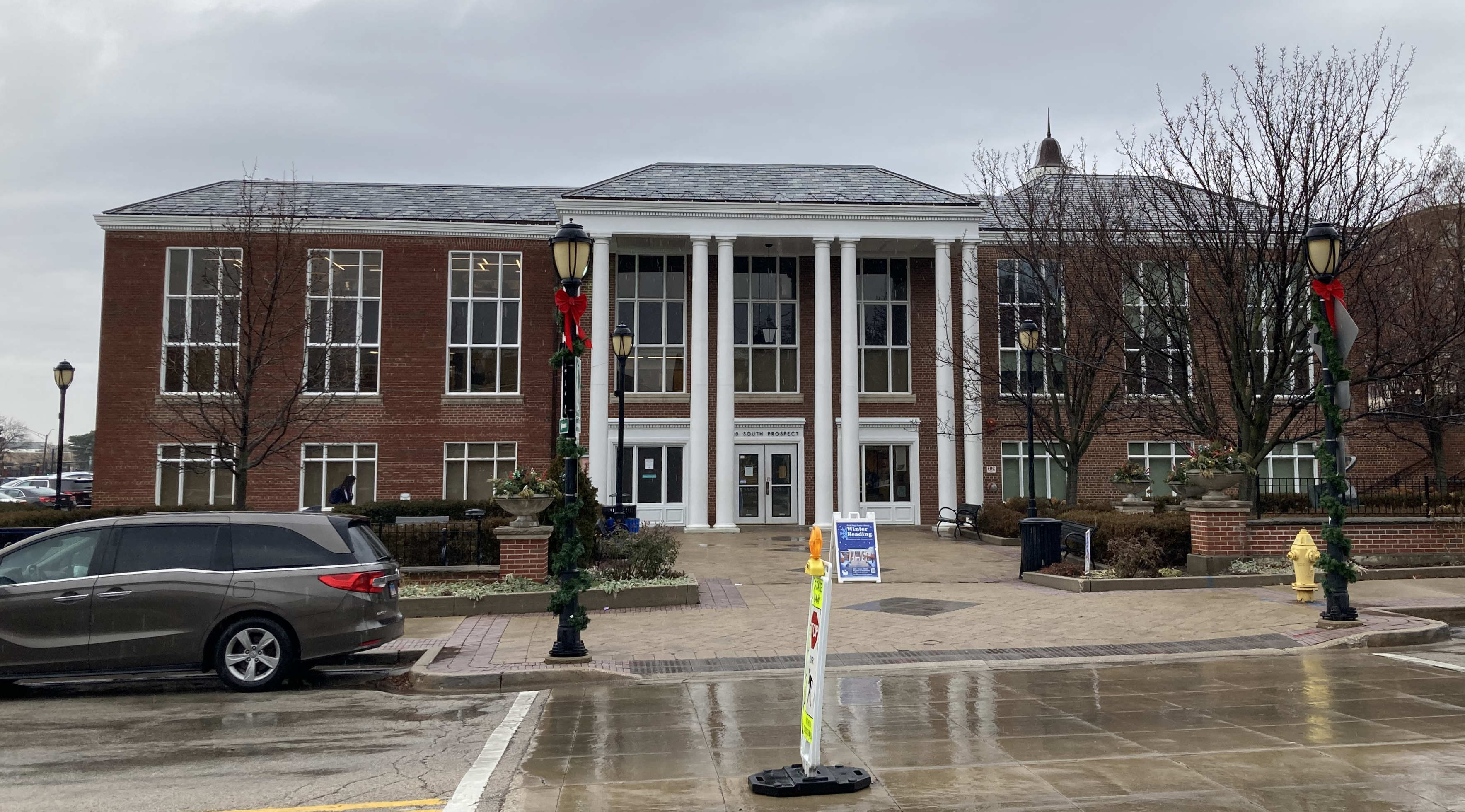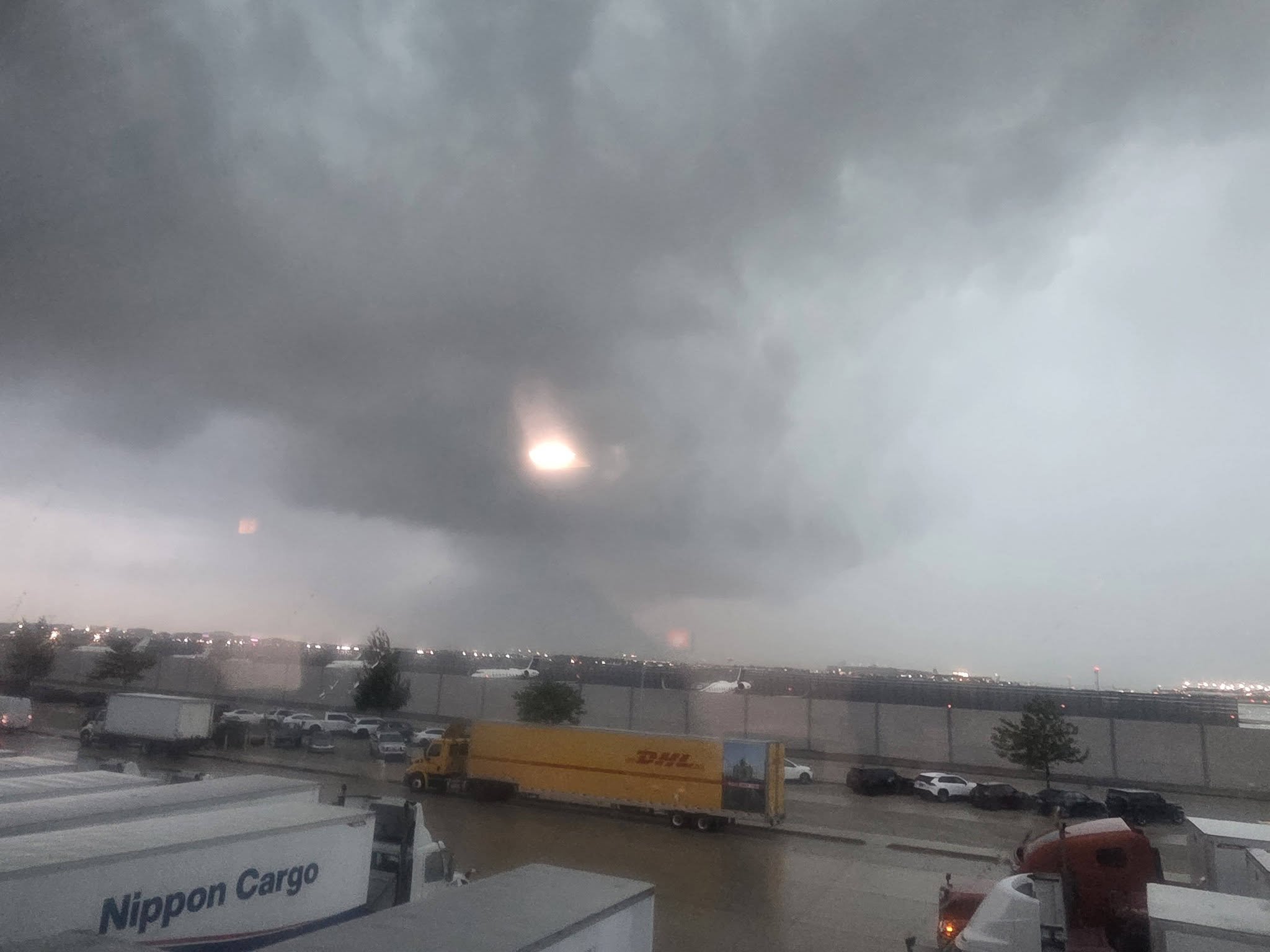
Park Ridge and Niles residents heard tornado sirens Tuesday morning as the National Weather Service placed Cook County under a tornado warning, part of a destructive storm system that produced at least two confirmed tornadoes, knocked out power to 357,000 ComEd customers and canceled nearly 300 flights at O'Hare Airport.
The NWS issued the tornado warning at 10:33 a.m., covering central and northern DuPage County eastward across Cook County. More than 3.4 million people were in the warning zone, which remained in effect until 11:15 a.m.
The Gary/Chicago International Airport recorded a 99 mph wind gust around 11 a.m., CBS News Chicago reported. Sugar Grove saw 97 mph gusts and Shorewood recorded 96 mph.
"The winds from the storm can be as strong as those produced by a tornado," NWS Chicago meteorologist Kevin Donofrio told the Chicago Tribune Tuesday morning.
Confirmed tornadoes, widespread damage
The NWS confirmed two tornadoes touched down in the south suburbs: one EF-1 near Monee and Crete in eastern Will County, and another rated EF-1 or stronger near Oak Forest and Flossmoor in southern Cook County. Survey teams were checking for additional tornadoes near Homer Glen, Tinley Park and parts of northwest Indiana as of Tuesday afternoon.
The hardest-hit areas were the south and southwest suburbs. Damage was reported at the Credit Union 1 Amphitheater in Tinley Park, and streets in Lansing were impassable after winds topped 100 mph there.
Power outages and flooding
About 357,000 ComEd customers lost power. By 3:30 p.m., outages were still affecting roughly 250,000 customers, according to the Chicago Sun-Times. ComEd urged residents to report downed power lines at 800-334-7661 (or 800-955-8237 for Spanish speakers) and to never approach a downed line.
Flooding remains a concern. As we reported Monday, the MWRD's McCook reservoir was at 95% capacity Tuesday morning, holding nearly 5 billion gallons. The Metropolitan Water Reclamation District declared an Overflow Action Day on Monday, Aug. 10, asking residents to delay showers, reduce dishwasher use and hold off on laundry to free capacity in the Deep Tunnel system.
A flood advisory covered Cook, DuPage, Kankakee and Will counties, with rainfall rates of 2 to 3 inches per hour possible.
No local damage reports yet
No specific damage reports from Park Ridge or Niles had been confirmed as of Tuesday afternoon. Residents who spot downed trees should call 311.
More storms ahead
NWS meteorologist Scott Baker said tornado and thunderstorm warnings expired early Tuesday afternoon after 1 to 2 inches of rain fell. But the unsettled pattern is not over. Wednesday, Aug. 12, brings a 40% chance of storms between noon and 4 p.m., and Thursday, Aug. 13, carries a 50% chance.
Midway Airport has recorded more than 20 inches of rain since June 1, well above the typical 13 inches for an entire summer. Illinois is approaching 200 tornadoes in 2026, WGN-TV meteorologist Bill Snyder told Block Club Chicago, calling it "the craziest storm season I can remember."